
Unitree Robots in Construction: 3D Mapping, BIM and Progress Tracking
How Unitree B2 and A2 with 4D LiDAR L2 automate 3D scanning of construction sites, BIM reconciliation, progress tracking and safety inspection across Kazakhstan projects.
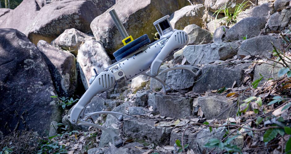
In short: a Unitree quadruped with LiDAR L2 walks a construction site in 15–60 minutes (instead of 4–8 hours of manual scanning), builds an accurate millimetre-density 3D point cloud and automatically reconciles as-built reality with the BIM model (Revit, ArchiCAD, Tekla). This closes three jobs at once: a digital twin of construction, progress tracking for contractor and client, and project-compliance verification before hidden works.
This article is for chief engineers, BIM managers, technical supervision and developers in Kazakhstan. We focus on large and medium construction in Astana, Almaty, Shymkent, EXPO zones, infrastructure projects under the "100 Schools" roadmap and state digitalisation programmes.
What the robot does on a construction site
3D scanning and digital twin
The robot with LiDAR L2 walks the site and gathers a point cloud at 64,000 points/sec and 30 m range. The output is a single 3D model with 5–15 mm accuracy, ready to import into Revit, ArchiCAD, Tekla, Autodesk Recap or AVEVA E3D. Scans repeat on schedule (weekly / monthly) — producing a living digital twin that grows with the building.
BIM vs As-Built reconciliation
After each scan the as-built reality is automatically compared with the design BIM. Deviations are colour-coded: red — out of tolerance, yellow — borderline. This matters before stage handover: supervision sees discrepancies before they get "sealed" inside walls or ceilings. Applicable to monolithic concrete, steel structures, MEP systems and masonry.
Progress tracking and client reporting
Comparing scan of week N to week N-1 gives an objective progress view: what was built, where the schedule slipped, what was done out of order. Reports go to the client automatically — no more "photo arguments". Especially valuable on government projects and large commercial builds with stage-based financing.
Safety and HSE inspection
In addition to scanning the robot checks barriers, safety nets, sign placement, scaffold condition. Thermal finds overheated equipment and potential fire sources. All issues are logged with coordinates — for daily safety briefings.
Site conditions: what the robot can endure
A construction site means dust, dirt, uneven ground, temporary level changes, stairs and open floors. The key is stability and obstacle clearance.
| Parameter | B2 | A2 | KZ construction |
|---|---|---|---|
| Protection class | IP67 | IP56–IP67 | IP54+ for outdoor sites |
| Operating temperature | −20 to +55 °C | −10 to +55 °C | −25 to +45 °C |
| Obstacle clearance | stairs up to 40 cm, slopes up to 45° | stairs up to 25 cm, slopes up to 35° | stairs, walkways, temporary decking |
| Battery runtime | 5+ hours | 4+ hours | walk shift 2–4 hours |
| Payload | up to 40 kg | up to 15 kg | LiDAR + sensors 8–15 kg |
| LiDAR (4D L2) | yes | yes | key sensor for BIM |
| Scan speed | 15–60 min per 1000 m² | 15–60 min per 1000 m² | manual — 4–8 hours |
Sensor stack for construction
- 4D LiDAR L2 — main 3D mapping sensor. 360°×96°, 64,000 points/sec.
- 4K camera with panoramic view — photo documentation and textures for the 3D model.
- IMU + GPS (outdoors) — accurate point-cloud localization.
- Thermal imager (optional) — detect overheating, heat losses, thermal bridges.
- Microphone + acoustic analytics (optional) — equipment anomaly detection.
BIM stack integration
The point cloud is exported in standard formats: LAS, LAZ, PCD, E57. BIM reconciliation runs through Autodesk Recap → Navisworks, ArchiCAD Open BIM, Tekla BIMsight, or specialised platforms (Imerso, OpenSpace, ClearEdge3D). For large developers, integration with the project management system (PMS), CDE and BIM 360 is connected. Open IFC formats are supported.
Recommended models
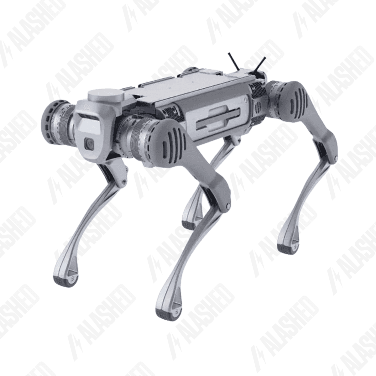
quadruped
Unitree B2
Выйди за пределы возможностей
Baseline platform for large objects — high-rise buildings, malls, power plants, infrastructure. Up to 40 kg payload for a heavy sensor pack.
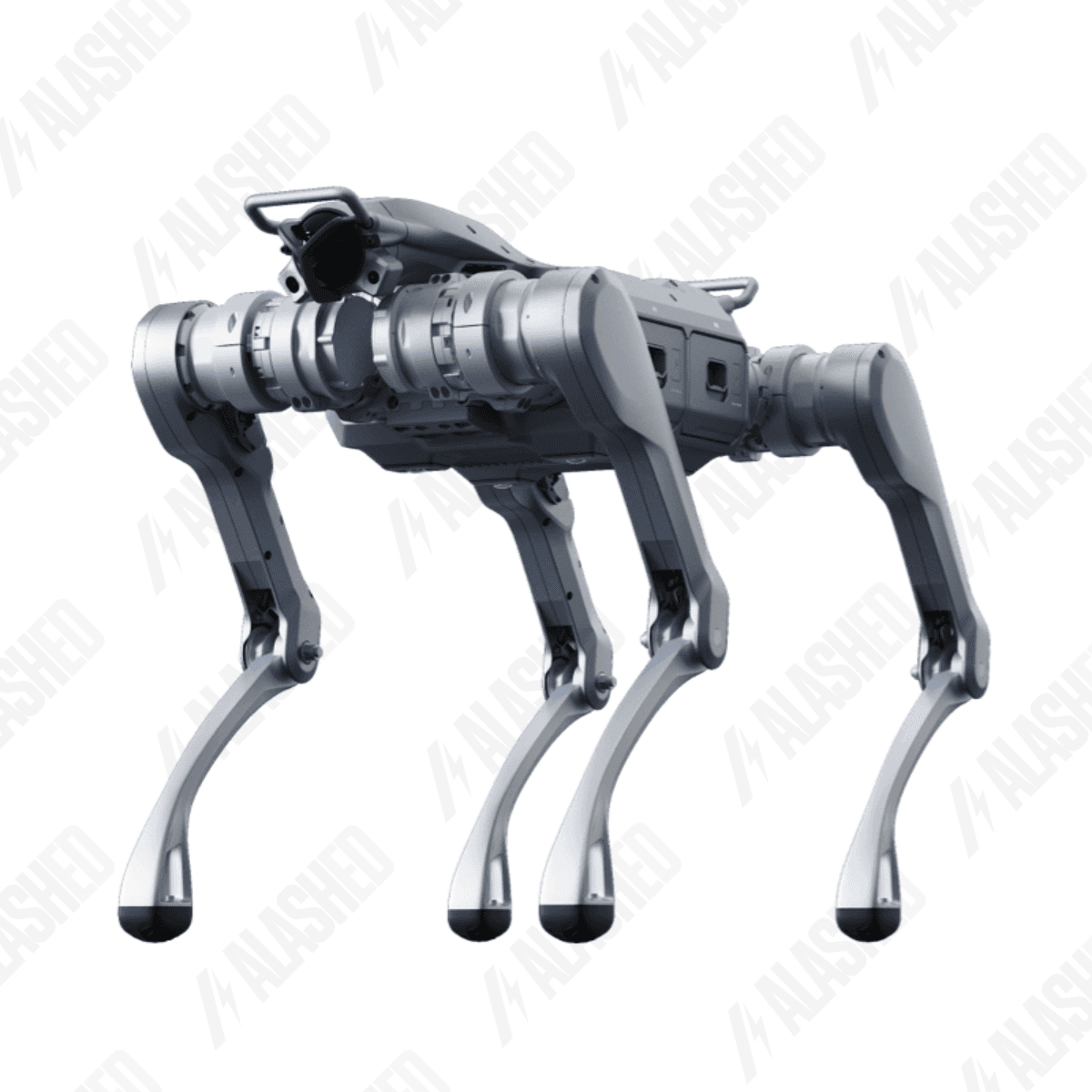
quadruped
Unitree A2
Звёздный исследователь
All-rounder for medium and small construction, office building rounds, refurbishment.

sensor
4D LiDAR L2
Бесконечная революция
4D LiDAR L2 — the key sensor. Cloud accuracy 5–15 mm, 30 m range.
A typical implementation project
- Demo on one of your sites: 1–2 days of scanning with processing and reconciliation.
- Agree the schedule of regular scans (weekly / bi-weekly / monthly).
- Integration with the BIM model and project management system.
- Training the BIM manager and surveyors to operate the robot.
- Handover to continuous use. Optional — rent on a per-project basis instead of buying.
Frequently asked questions
Does the robot replace a surveyor?
Not entirely. The robot covers bulk scanning (BIM vs As-Built, progress tracking); the surveyor handles precise acceptance measurements, axis layout and as-built drawings. On a large site the robot offloads 70–80% of the routine, freeing the surveyor for critical work.
What is the scanning accuracy?
Point-cloud accuracy of 5–15 mm at distances up to 30 m. This is enough for progress tracking, BIM reconciliation and inventory. For Class 1 geodesy (2–5 mm) a stationary scanner is used; the robot is mobile and fast, the stationary is more precise but much slower.
Can the robot work on a winter construction site?
Yes — down to −20 °C for the B2 by default, below that with a heated container for charging and warming. On Astana and North Kazakhstan sites it's standard practice for the whole IT kit (laptops, radios, scanners are also kept warm).
Rent or buy for a project?
For a single 12–18 month site, renting is more attractive. For a developer with a project pipeline and an in-house BIM team, buying pays off in 2–3 projects. An Alashed engineer can run the numbers on your inputs.
Compatibility with Revit, ArchiCAD, Tekla?
Fully. The cloud exports to LAS/LAZ/E57/PCD — the standard for all BIM environments. IFC is supported for co-working. Reconciliation is configured in Autodesk Recap → Navisworks or specialised platforms.
How is the security of the point cloud ensured?
Data is encrypted on-device and in transit. The point cloud can be stored locally on site without internet access — for government and restricted sites. Specific requirements are agreed with the client's security team.
Источники
- Unitree B2 — official spec sheet — Unitree Robotics
- Unitree LiDAR L2 — official sensor page — Unitree Robotics
- Отраслевое решение: строительство — Unitree.kz
- 4D LiDAR L2 на Unitree.kz — Unitree.kz
Получите расчёт под вашу задачу
Цена зависит от конфигурации и комплектации. Инженер Alashed соберёт КП и предложит подходящую модель Unitree за 30 минут.