
How LiDAR Works in Unitree Robots (L1, L2) — In Plain Language
LiDAR is the modern robot's \"eyes\". We explain how Unitree's 4D LiDAR L1 and L2 scan space, build 3D maps, enable SLAM navigation without GPS, and why this is a critical technology for industrial robots.
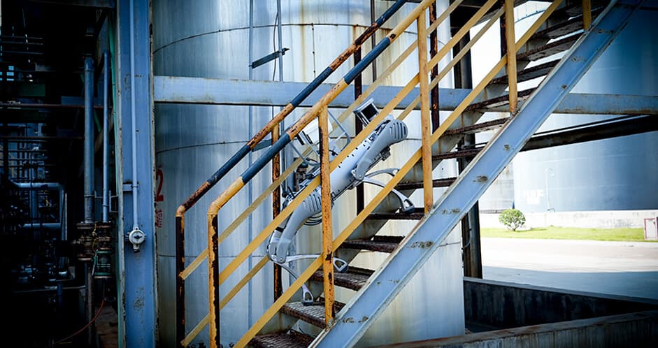
In short: LiDAR (Light Detection and Ranging) is a laser scanner that sends millions of light pulses per second and measures how long each pulse takes to return. From the return time the robot computes the distance to every point around it. Unitree 4D LiDAR L2 gives a 360° horizontal field, 96° vertical, 30 m range and 64,000 points per second. This lets the robot see in total darkness, dust, and smoke, and build an accurate 3D map of its environment.
This article is for engineers picking a sensor pack; SLAM developers; pilot-project leads who want to understand what LiDAR delivers and what its limits are.
How LiDAR works
The laser sends a short light pulse. The pulse travels to an obstacle, reflects, and returns. With the speed of light known (299,792,458 m/s) and the round-trip time measured, distance is computed as d = c × t / 2. Tens of thousands of such measurements per second yield a "point cloud" from which the robot builds a 3D picture of the surroundings.
"4D" means that in addition to XYZ coordinates every point carries time — so LiDAR works in real time, capturing not only static objects but also dynamics (moving vehicles, people).
Unitree LiDAR specifications
| Parameter | 4D LiDAR L1 | 4D LiDAR L2 | What it gives |
|---|---|---|---|
| Horizontal field | 360° | 360° | Full circle |
| Vertical field | 90° | 96° | Volumetric picture |
| Max range | Up to 25 m | Up to 30 m | Industrial range |
| Points per second | 30,000+ | 64,000 | Cloud density |
| Accuracy | ±2 cm | ±2 cm | Enough for SLAM |
| Protection class | IP65 | IP65 | Dust and splash |
| Weight | ~250 g | ~250 g | Easy to mount |
What LiDAR gives a robot
1. SLAM navigation without GPS
SLAM (Simultaneous Localization and Mapping) — the robot builds a map of the environment and localizes itself on it in real time. Critical where GPS doesn't work: indoors, in tunnels, mines, under bridges, in dense urban canyons. LiDAR is the primary sensor for SLAM.
2. Seeing in the dark and through smoke
A camera only sees what's lit. LiDAR works off its own laser beam — no external light needed. In darkness, smoke and dust, LiDAR keeps building the map. Indispensable for fire reconnaissance (Unitree B2 + LiDAR), night security (B2-W), underground work (mining).
3. 3D mapping of sites and complex objects
In a single pass the robot builds an accurate 3D map with millimetre density. Used for BIM (construction), refinery digital twins, warehouse inventory, open-pit monitoring. The point cloud exports to standard formats (LAS, LAZ, E57, PCD).
4. Safe movement near people
LiDAR sees people, vehicles and moving objects in real time. The robot stops on obstacle, navigates around, picks a new route. Baseline requirement for robots working near humans (HoReCa, patrol, service).
LiDAR limitations
- Doesn't see colour, texture or text — that's the camera's job.
- Struggles with mirror surfaces (glass, polished metal) — reflections confuse the sensor.
- Fog and heavy precipitation scatter the laser — range drops.
- Pricey compared to a camera — not yet in mass consumer products, but a standard for industry and R&D.
Unitree robots compatible with LiDAR

sensor
4D LiDAR L2
Бесконечная революция
Main 4D LiDAR — installs on B2, A2, Go2 EDU. SLAM, 3D mapping, night vision.
quadruped
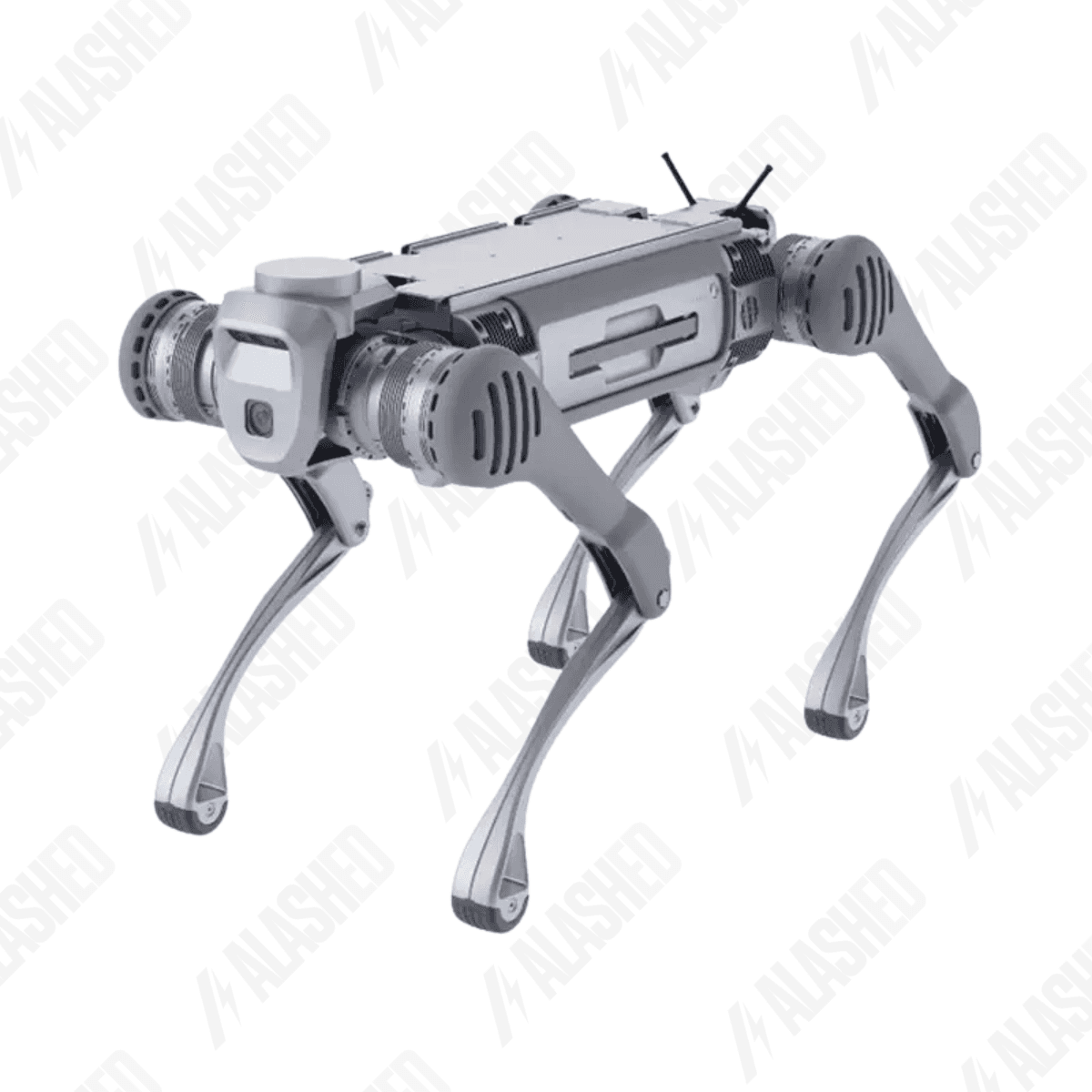
Unitree B2
Выйди за пределы возможностей
Baseline platform with LiDAR L2 for industrial inspection.
quadruped
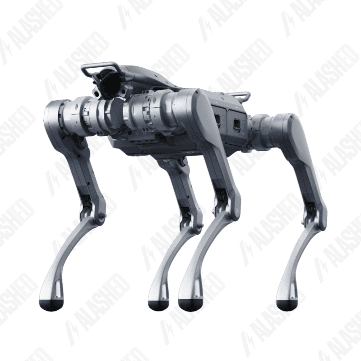
Unitree A2
Звёздный исследователь
A2 + LiDAR L2 — all-rounder for recon and inspection.
quadruped
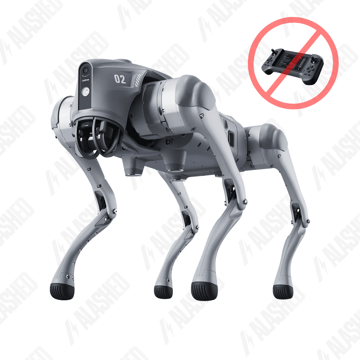
Unitree Go2
Новое существо воплощённого AI
Go2 EDU has built-in LiDAR for education and R&D.
FAQ
Can LiDAR L2 mount on any platform?
Compatibility is confirmed with B2, A2, Go2 EDU. On third-party platforms LiDAR can be mounted via adapter and ROS2 integration — a standard integrator task.
How is LiDAR better than a camera?
Not better — different. LiDAR gives exact geometry and works in the dark; the camera sees colour and texture. For serious tasks the robot carries both.
How much data does LiDAR generate per hour?
Several GB per hour of raw point cloud. With compression and filtering, data is significantly reduced. For long operation an onboard SSD is recommended.
Is the LiDAR laser eye-safe?
Yes. Unitree LiDAR operates at 905 nm with Class 1 power (Eye-Safe per IEC 60825-1). Safe for people in normal operation.
How does Unitree 4D LiDAR differ from Velodyne / Ouster?
The underlying technology is the same. Velodyne and Ouster are premium segments with longer range and higher accuracy. Unitree LiDAR L2 is optimised for mobile robots: light, compact, integrated into the Unitree ecosystem. For most tasks LiDAR L2 covers the needs at significantly lower CAPEX.
Источники
- Unitree 4D LiDAR — official — Unitree Robotics
- LiDAR — Wikipedia — Wikipedia
- 4D LiDAR L2 в каталоге — Unitree.kz
Получите расчёт под вашу задачу
Цена зависит от конфигурации и комплектации. Инженер Alashed соберёт КП и предложит подходящую модель Unitree за 30 минут.